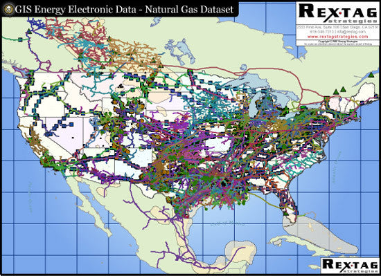
Natural Gas Digital GIS Data - North America
With more than 640,000 miles of digitized pipeline data and over 1700 pipeline systems! The Natural Gas Pipeline Layer offers invaluable information of the most tradable commodity in the energy industry.
Pipelines, compressor stations, gas processing plants, gas storage facilities and major gas producing fields are just a few examples of what you will find included in all of our Natural Gas Digital GIS data sets. Some of the most relevant information, for the Natural Gas Pipeline Systems, features include:
- Pipeline Systems common naming (i.e. ANR, Transco), full name, designation (Interstate or intrastate), Diamaters, Onwer, System Names,System Types (Gathering, Transmission, etc..), FERC code, status (for proposed or under construction pipelines),pricing zones (Zone1, Market Area,..)
- Compressor Stations (name and owner)
- Receipt and Delivery Points with Capacity flows (Meter Points)
- Gas Storage Facilities names, operators, capacities, type, etc..
- Gas Processing Plants (names and onwers)
- Major Producing Gas Fields
- Oil and Gas Fields (name and type)
- Oil and Gas Basins
In addition, Hart Energy knows about budget constraints confronting small and medium size companies. Therefore, we have created a great licensing program. Our customers can get our GIS Data for the areas they are most interested, or buy the whole set with our system of price breaks:
- Gulf Natural Gas Digital GIS Data
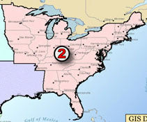
- East Natural Gas Digital GIS Data
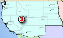
- West Natural Gas Digital GIS Data
- Canada Natural Gas Digital GIS Data
- Mexico Natural Gas Digital GIS Data


