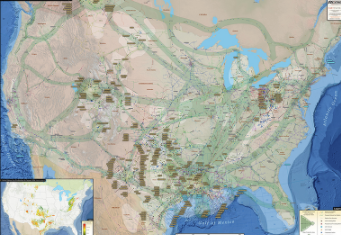
U.S. Natural Gas Infrastructure Map
The U.S. Natural Gas Infrastructure Wall Map provides the most informative and accurate picture of the U.S. natural gas network. With an easy to read design, the U.S. Natural Gas Infrastructure Wall Map is the perfect tool for understanding the country’s immense gas transmission network.
The U.S. Natural Gas Infrastructure Wall Map contains the following features:
- Natural Gas Pipelines (labeled and color coded by operator)
- Operator, Commodity, and Diameter Info Bubbles for Major Pipelines
- Gas processing plants (major plants are labeled with name and capacity)
- Pipeline Flow Direction
- Graphical representation of the average daily gas flows through the United States
- Gas Compressor Stations
- Gas Storage Facilities
- LNG Facilities
- Oil and Gas Basins (labeled with names)
The Small size (24"x34") is specially designed to fit a cubical wall. Last updated in 2020.
