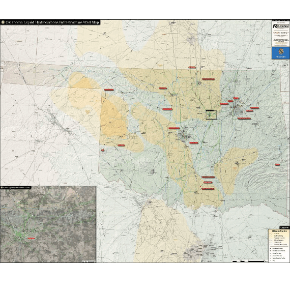
Oklahoma Liquids Infrastructure Wall Map
Capturing the bustling liquids infrastructure of Oklahoma with a clean and organized look, the Oklahoma Liquids Infrastructure Wall Map is an essential tool for the energy industry professional. Including an insert focused on the liquids hub in Cushing, OK, no other map on the market provides such a complete overview of the state’s liquids infrstructure.
The Oklahoma Liquids Infrastructure Wall Map contains the following features (42" x 50"):
- Crude oil, gathering, refined products, other liquids, proposed pipelines (color coded and labeled)
- Crude Oil Refineries (labeled with name and capacity)
- Crude by Rail Terminals (labeled with name and operator)
- Crude Terminals
- Product Terminals
- Petro-Chemical Facilities
- Detailed Cushing Insert with Aerial Photography
Updated 2017
