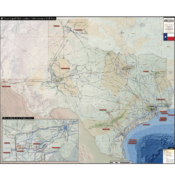
Texas Liquids Hydrocarbons Infrastructure Map
The Texas Liquids Hydrocarbons Infrastructure Map offers an incomparable overview of the state’s major producing shale plays and the infrastructure to support them. Few other states in the U.S. contain the amount of liquids production and infrastructure as the state of Texas.
The Texas Liquids Hydrocarbons Infrastructure Map contains the following features:
- Crude oil, crude gathering, refined products, and other liquids pipelines (color coded and labeled)
- Crude Oil Refineries (labeled with name and capacity)
- Crude and Product Terminals
- Petrochemical Facilities
- Horizontal Oil Wells (drilled/permitted after 2012)
- Detailed insert of the Houston Ship Channel and Mt. Belvieu booming liquids processing and transportation network
Last updated in 2018
