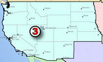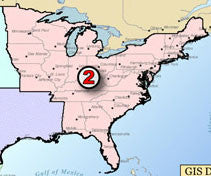
Liquid Products Pipeline GIS Map Data - West Area
In the fast paced Energy Industry, you want to have reliable information at your fingertips. The Hart Energy GIS data sets are designed to do just that: provide you with the necessary data tools to make sound decisions.
Our data includes information on the pipeline systems located in West area of the United States.
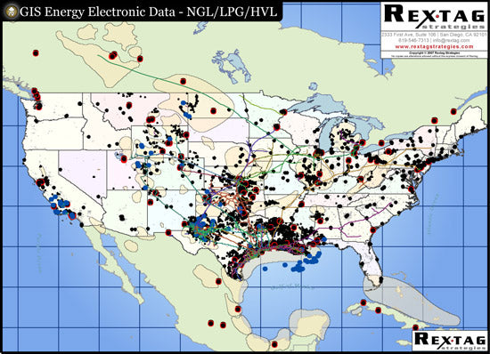
The U.S. Liquid Products Pipeline System Digital GIS data allows you to print your own maps, give you geographic images of different types of liquid product commodities, and helps you in evaluating the ever-changing market of the energy industry.
The Liquid Products Pipeline System Digital GIS Data contains the following Data Layers:
- Unique Liquid Products Pipeline Systems (NGL, LPG, HVL)
- Names for Pipelines' Operators and Owners Pipeline System Common Naming (i.e. Valero/Nustar, Magellan, etc)
- Crude Oil Refineries Refineries names and capacities (in BPD)
- Natural Gas Processing Plants
- Oil and Gas Basins
Each pipeline system classified by its commodity type. Thus, it makes it easier for our customers to show only the data of their interest. Our Liquid Producst Pipeline Data allows you to filter and label by:
- All Liquid Products
- NGL: Natural Gas Liquids
- HVL: Highly Volatile Liquids
- LPG: Liquid Petroleum Gas
- any combination of the above


